trails
Regional Trail Map
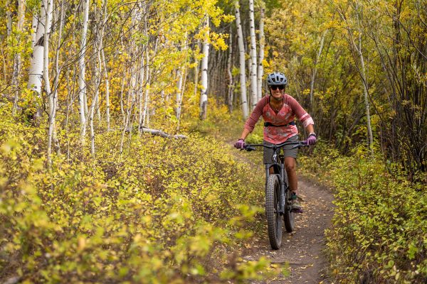
Hoback Trail
This new multi-use trail takes users out to the southernmost boundary of the ski area and then gradually wraps across and up the beautiful Hobacks and Lower Faces. A few...
Read More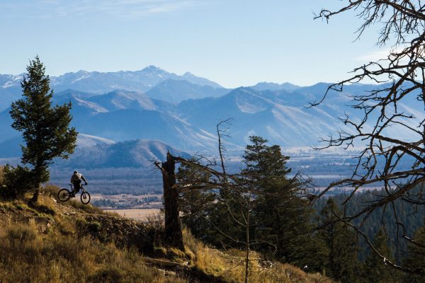
Parallel
The easiest access to the parallel trail is from the phillips canyon trail head off of highway 22 on Teton Pass. From there take either jimmy’s mom to candyland which ends...
Read More
Red Top Meadows Out and Back
This classic road ride takes you south from the town of Wilson down Fall Creek Road to Red Top Meadows.
Read More
Signal Mountain Out and Back
It has been said that there is no better way to see Grand Teton National Park than from the seat of your favorite bike. This ride takes you along a...
Read More
Antelope Flats
If you have ever had the urge to share the road with bison, antelope or other ungulates this might be your best chance. This ride takes you through prime wildlife...
Read More
Around the Block
To say that this ride is not for the faint of heart could be an understantment unless you happen to laugh in the face of 108 mile rides that gain...
Read More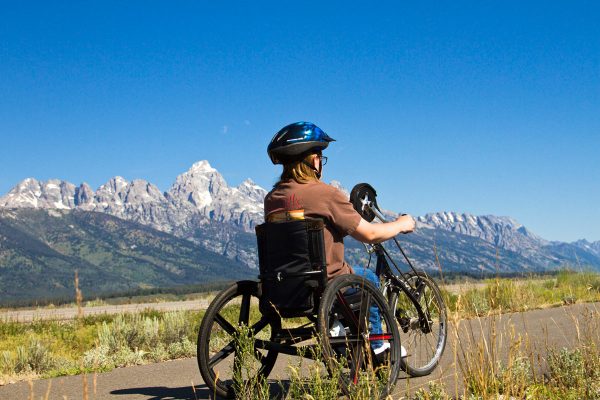
Grand Teton National Park Pathway
Use this pathway to explore Grand Teton National Park by bike. Running along the base Tetons this pathway offers extraordinary scenery and the potential to spot wildlife.
Read More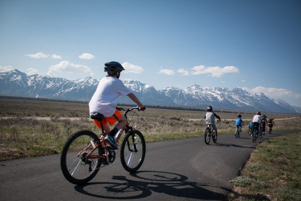
North 89 Pathway
The beautiful North 89 Pathway is certainly amongst the most breathtaking pathways arounds. The pathway starts at flat creek and takes you past the National Elk Refugee then through Grand...
Read More